
Walking a North Charleston Street by Address
Use a North Charleston street directory as an address trail, not as a list of every person on a road. The first question is which county holds the parcel. North Charleston extends into Charleston, Berkeley, and Dorchester counties. Each county assigns its own parcel or TMS number and keeps separate assessment and Register of Deeds records. Once the county is known, the property card supplies the legal description, owner fields, deed citation, and other details that carry the search forward.
Ownership and occupancy are different facts. A property card can report an owner or a tax mailing contact, and a recorded deed can document a transfer. Neither proves who is currently living at the address. Historic street listings, a narrowly described city-record request, and public inspection channels can add context when research concerns a particular address and period.
- Find the address in the right county property search and save the parcel or TMS number, legal description, and deed reference.
- Open the county map, search the street or parcel, and check the selected parcel against nearby street numbers.
- Use the property card’s deed book and page or sale details to seed the correct county deed search.
- Work backward through grantor and grantee entries, keeping the legal description and plat details with each transfer.
- For an earlier household question, check the CCPL street or reverse directories and corroborate a name with the appropriate historical source.
Note: Keep a county label beside every saved record because the same North Charleston mailing area reaches three separate land-record systems.
North Charleston Streets Need a County Check
County geography is the essential North Charleston street directory detail. A postal city name does not select a deed office, a property card, or a Probate Court. In Charleston County, the Auditor provides property record cards and the Parcel Viewer provides map context. Berkeley County has its own property search and land-record system. Dorchester County uses a separate CAMA inquiry and Register of Deeds route.
Start with a parcel map or assessment card rather than guessing from ZIP code. The county property identifier links the address to local tax and deed references. It also prevents a common error: searching a Charleston County owner or deed for a parcel that lies in Berkeley or Dorchester County. A street can cross neighborhood and service boundaries, but each parcel has one controlling county record system.
Search North Charleston Property Cards by Street
The Charleston County Property Record Cards are the strongest street-browse tool documented for the Charleston County part of North Charleston. The address form requires a street name and makes the street number optional. This allows a result list across the same street. County guidance says to leave off the street type and to spell out numbered streets before trying numerals. Results distinguish current owners from owners listed as of January 1, which matters after a recent transfer.
| Property-card field | Input | Required | North Charleston use |
|---|---|---|---|
| Street Number | Text | No | Pair it with a street name to narrow one parcel. |
| Street Name | Text | Yes for address search | Use without the street type; a street-only query can browse results. |
| Owner Name | Last name plus optional first and middle name | Last name for name route | Confirm a recorded owner after locating a parcel. |
| Parcel ID or TMS | Ten digits, with optional A or B | Yes for parcel route | Use the county key without spaces, dashes, or hyphens. |
| Sales Date | Alternate search route | Depends on route | Find transfer clues before checking the ROD. |
Charleston County’s property-card search is shown below. The screen represents an owner-and-parcel source for a North Charleston street directory search, not a roster of everyone at an address.
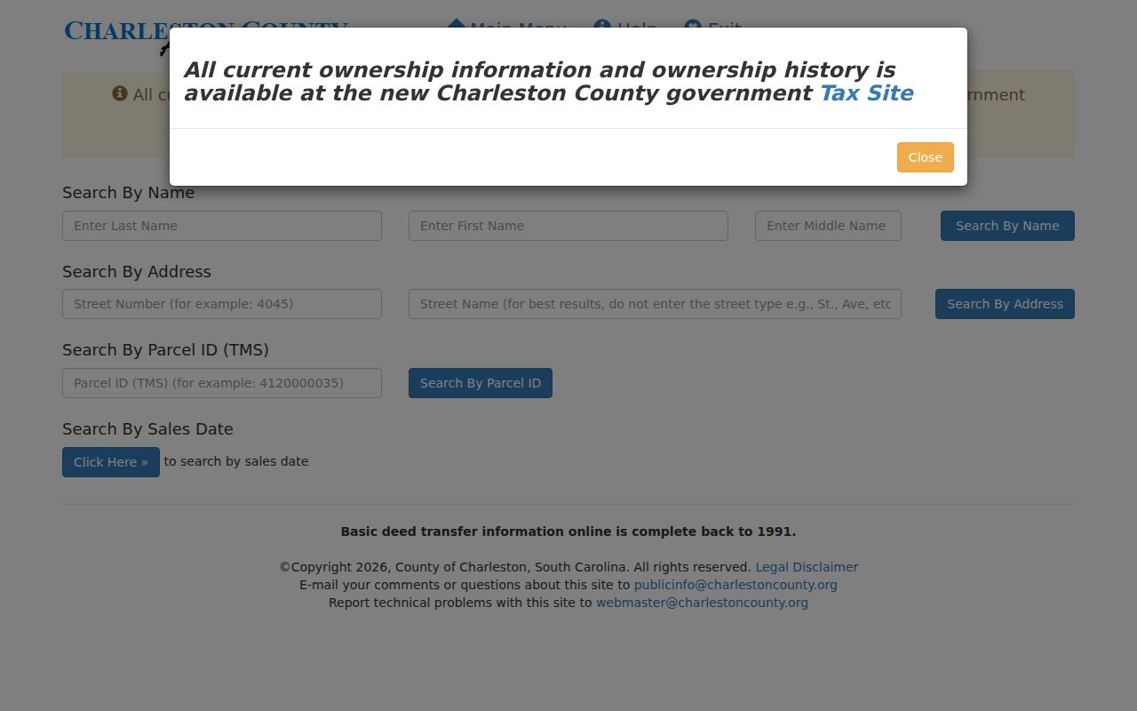
Use the returned TMS, property address, current owner fields, legal description, and deed book or page as separate research notes. A tax mailing address may point to a notice recipient, such as a trust or manager, and should not be treated as proof of residence.
Map a North Charleston Street Parcel
The Charleston County Parcel Viewer accepts an address, road, parcel number, or owner name in one search box. Search the street, zoom to parcel scale, and select a polygon. The popup can show a Parcel ID, owner field, acreage, plat book or page, deed book or page, and jurisdiction. Its Parcel ID link opens tax information, creating a direct map-to-card path.
Layers include streets, address points, parcels, building footprints, boundaries, hydrology, and several imagery years. Those layers help match an address to the physical parcel or compare a later footprint with a historic plan. The measure tool records map distance or area, but it does not certify a boundary. The viewer also does not identify renters or all residents along the road.
- Parcel or TMS
- A county identifier for a taxable piece of land. It ties the map, assessment card, and deed clues together.
- Situs address
- The physical property address on an assessment record. It can differ from the tax mailing address.
- Plat
- A recorded map of lots, blocks, or subdivision layout. The plat reference can bridge an old address to a legal land description.
- Criss-cross directory
- A reverse directory arranged by street and house number, then the listed occupant, rather than by surname.
North Charleston Street Records Compared
Address-keyed records answer different parts of a North Charleston street directory question. The assessor card is the practical starting point. GIS puts the parcel in place. The Register of Deeds provides recorded transfers. A city request can seek a bounded permit or code file. South Carolina voter registration has public-inspection rules, but the personal voter portal is an individual self-service tool, not a by-street household browser.
| Address source | Local keeper | Useful field or evidence | Access channel |
|---|---|---|---|
| Property card | County Auditor or Assessor | Parcel, owner, situs, legal description, transfer clues | Charleston, Berkeley, or Dorchester county portal |
| Parcel viewer | County GIS | Parcel outline, owner field, plat and deed reference | Public map and linked tax information |
| Recorded deed | County Register of Deeds | Grantor, grantee, instrument, record date, book and page | Online index, counter, film, or historic books by county |
| Permit or code file | North Charleston department | Identified project, applicant or work chronology | Customer Portal or targeted FOIA request |
| Registration record | County elections office | Nonconfidential public-inspection material | Inspection route under state law, subject to protection rules |
The useful sequence is address to parcel, parcel to deed citation, and deed citation to the correct ROD index. A person’s name can then be checked in the historical sources that fit the period. For a one-person confirmation rather than a street-wide trail, use the separate North Charleston resident lookup.
Link a North Charleston TMS to Deeds
The Charleston County Register of Deeds Document Search has name-and-date, type-and-date, book-and-page, tracer, and all-fields modes. A property card’s book and page is the cleanest entry point. The ordinary name route distinguishes grantor, the seller, from grantee, the buyer. A tracer can point from a later document, such as a satisfaction, to an earlier recorded item.
| Name and Date | Enter a last name and optional first name, then use spelling variants without an asterisk. |
|---|---|
| Type and Date | Choose a record type and give the required begin date, with an optional end date. |
| Book and Page | Use the identifiers reported on the parcel card or GIS popup. |
| Historic fallback | Charleston County reports physical books from 1719 to 1960 and film or microfiche from 1960 to 2005. |
Charleston’s online deed and mortgage index begins with a 1978 notice, and images begin with a February 1997 notice. Berkeley documents online indexes and images from July 1, 1983, with some deed images from January 1974 when book and page are accurate. Dorchester’s published material did not establish an online beginning year, so use its land archive library or ask the ROD before assuming a web cutoff.
Note: An old deed often relies on lot, block, subdivision, or metes-and-bounds language rather than a modern street number.
North Charleston Address Files Through FOIA
The City’s FOIA portal is a fallback for a defined address record that is not visible in a county system. It routes requests to departments including Building, Code Enforcement, GIS, Planning and Zoning, Municipal Court, Public Works, Finance, and City Council. The form requires requester information, a description, a department choice, and a preferred delivery method. It is not a street directory search screen.
A useful request names the address, a narrow date range, and a permit, project, or case number when known. Ask for nonexempt records and avoid unnecessary personal details. Under the South Carolina Freedom of Information Act, S.C. Code Ann. §30-4-10 et seq., the agency may still apply exemptions, redactions, deposits, and other request rules. A permit applicant or owner-agent is a record contact, not automatic proof of a household.
Historic North Charleston Street Listings
For a past address, CCPL’s historic-property research guide points to city directories, maps, tax books, photographs, and archival materials. The library identifies an 1840 cross-reference and street listings from 1890 onward. These reverse listings can connect a house number to a listed occupant, but their availability is uneven. Check the regular alphabetical entry afterward for spelling, occupation, or other period clues.
North Charleston and Navy Base addresses may appear in separate suburban sections in directories from the 1940s and 1950s. The collection’s historical labels can also use Charleston Neck, parish names, or Navy Yard terms. A result absent from a main Charleston sequence is not enough to close the search. The historical volumes themselves are described on the North Charleston Directory Book.
CCPL’s historic-property guide is pictured below. It directs a North Charleston street directory search toward local maps, tax materials, and library assistance when a web index ends.
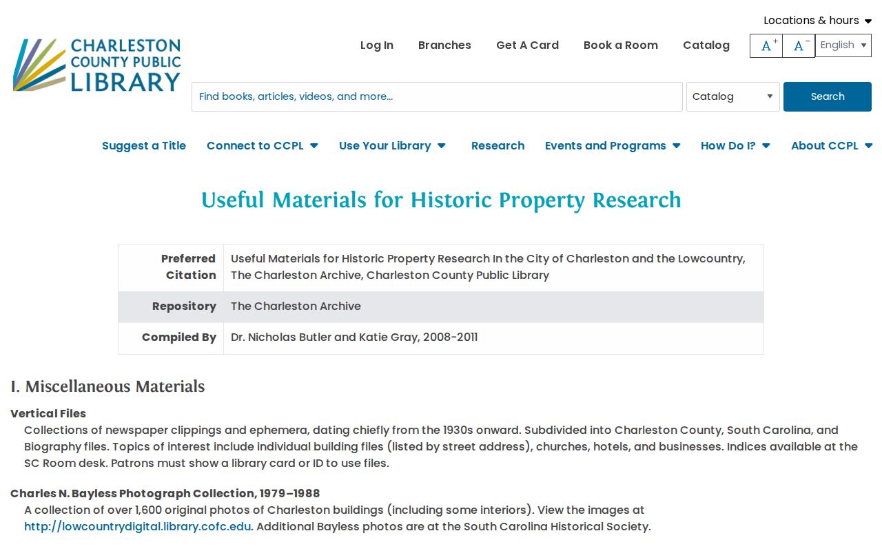
Make an appointment with the South Carolina Room or Charleston Archive for longer work. Provide the street, name variants, likely directory year, and any parcel or plat references so staff can identify useful directory, map, or microfilm call numbers.
North Charleston Streets Before Incorporation
North Charleston incorporated in 1972, yet the North Charleston name dates to a 1912 development plan near the Cooper River and Navy Yard. That history affects street research. Earlier parcels and people can be cataloged under Charleston, Charleston County, Charleston Neck, St. Philip Parish, St. James Goose Creek Parish, Navy Yard, or Navy Base rather than under the present city name.
CCPL documents early street-number changes in peninsular Charleston, including an 1884 to 1886 renumbering project. That is a warning for older Charleston or Charleston Neck sources, not evidence of a citywide North Charleston conversion. Compare the legal description, plat, adjacent names, street index, and map instead of forcing an old number into a modern address. Park Circle’s curved, planned layout can help orient a map, but the parcel and plat remain the evidence.
Limits of North Charleston Street Directory Evidence
A North Charleston street directory can establish a documented parcel, owner, recorded transfer, and sometimes a historical listed occupant. It cannot safely turn that material into a current household list. County records do not open DMV, utility, delivery, juvenile, sealed, or protected-address information as a street directory. Voter data has its own confidential fields and protection paths, including address confidentiality for eligible electors with qualifying protection orders.